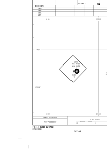


CCX2 - Long Pond
Located in , Canada
ICAO - CCX2, IATA -
Data provided by AirmateGeneral information
Coordinates: N47°30'59" W52°58'52"
Elevation is 42 feet MSL.
Magnetic variation is -18.9428° East View others Airports in Newfoundland and Labrador
Operational data
Special qualification required
Current time UTC:
Current local time:
Weather at : CYYT - St. John's Intl ( 21 km )
METAR: CYYT 201200Z 09005KT 15SM OVC017 07/04 A3019 RMK SC8 SLP230
TAF: TAF CYYT 201143Z 2012/2112 13010KT P6SM FEW005 TEMPO 2012/2014 BKN005 FM201400 13010KT P6SM BKN009 BECMG 2014/2016 SCT012 FM202000 15010KT P6SM FEW006 PROB30 2020/2024 BKN006 FM210000 18008KT P6SM FEW003 PROB30 2100/2105 BKN003 FM210500 26008KT 1SM BR OVC003 RMK NXT FCST BY 201800Z
Communications frequencies: [VIEW]
Runways:
Airport contact information
Address: Canada