


YBYI - Bruny Island
Located in Great Bay, Australia
ICAO - YBYI, IATA -
Data provided by AirmateGeneral information
Coordinates: S43°14'6" E147°22'47"
Elevation is 50 feet MSL.
Magnetic variation is 15° East View others Airports in South Australia
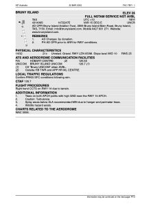
Operational data
Special qualification required
Current time UTC:
Current local time:
Weather at : YMHB - Hobart ( 46 km )
METAR: YMHB 161130Z 20014KT 9999 -SHRA FEW022 BKN045 10/06 Q1022 RF00.0/000.2
TAF: TAF YMHB 160816Z 1609/1706 19016G26KT 9999 -SHRA SCT025 BKN040 BECMG 1610/1612 19012KT 9999 -SHRA SCT025 SCT035 INTER 1609/1706 5000 SHRA SCT015 BKN025
Communications frequencies: [VIEW]
Runways:
| RWY identifier | QFU | Length (ft) | Width (ft) | Surface | LDA (ft) |
| 14 | 152° | 2119 | 91 | DIRT | |
| 32 | 332° | 2119 | 91 | DIRT |
Airport contact information
Address: Great Bay Australia