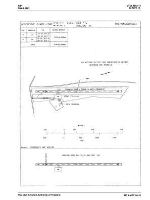


VTCI - Mae Hong Son / Pai Airport
Located in Mae Hong Son, Thailand
ICAO - VTCI, IATA - PYY
Data provided by AirmateGeneral information
Coordinates: N19°22'19" E98°26'9"
Elevation is 1676 feet MSL.
View others Airports in Mae Hong Son Province
Operational data
Special qualification required
Current time UTC:
Current local time:
Weather at : VTCH - Mae Hong Son / Mae Hong Son Airport ( 49 km )
METAR: VTCH 030800Z 21006KT 140V250 9999 -RA FEW020CB BKN025 28/25 Q1007
TAF: TAF VTCH 030500Z 0306/0406 33005KT 9999 BKN025 TEMPO 0307/0313 -TSRA FEW020CB BKN025 TEMPO 0315/0321 -TSRA FEW020CB BKN025
Communications frequencies: [VIEW]
Runways:
| RWY identifier | QFU | Length (ft) | Width (ft) | Surface | LDA (ft) |
| 01 | 14° | 2329 | 59 | UNK | |
| 19 | 194° | 2329 | 59 | UNK |
Airport contact information
Address: Mae Hong Son Thailand