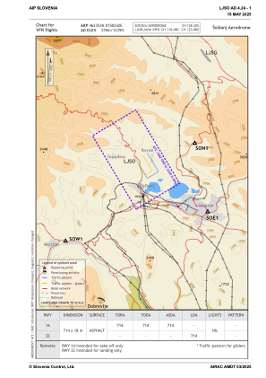


LJSO - Sostanj
Located in Sostanj, Slovenia
ICAO - , IATA -
Data provided by AirmateGeneral information
Coordinates: N46°23'53" E15°2'42"
Elevation is 1239 feet MSL.
Magnetic variation is 4.17° East View others Airports in Sostanj
Operational data
Special qualification required
Current time UTC:
Current local time:
Weather at : LJLJ - Ljubljana/Brnik ( 49 km )
METAR: LJLJ 171700Z 25007KT 210V290 9999 FEW050 SCT250 26/13 Q1016 NOSIG
TAF: TAF LJLJ 171700Z 1718/1818 VRB02KT 9999 FEW050 TEMPO 1813/1817 26010KT
Communications frequencies: [VIEW]
Runways:
| RWY identifier | QFU | Length (ft) | Width (ft) | Surface | LDA (ft) |
| 15 | 149° | 2343 | 59 | ASPH | |
| 33 | 329° | 2343 | 59 | ASPH | 2343 |
Airport contact information
Address: Sostanj Slovenia
