


KDOV - Dover Afb
Located in Dover, United States
ICAO - DOV, IATA - DOV
Data provided by AirmateGeneral information
Coordinates: N39°7'46" W75°27'57"
Elevation is 28 feet MSL.
Magnetic variation is -12° East View others Airports in Delaware
Operational data
Special qualification required
Current time UTC:
Current local time:
Weather
METAR: KDOV 080955Z 22007KT 10SM CLR 17/10 A2977 RMK AO2A SLP085 T01730104
TAF: TAF KDOV 080800Z 0808/0914 18006KT 9999 OVC100 QNH2975INS BECMG 0812/0813 28012G18KT 9999 SKC QNH2980INS BECMG 0821/0822 25006KT 9999 SCT050 QNH2964INS TX28/0821Z TN19/0809Z
Communications frequencies: [VIEW]
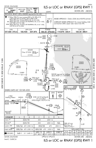
Runways:
| RWY identifier | QFU | Length (ft) | Width (ft) | Surface | LDA (ft) |
| 01 | 3° | 9602 | 150 | CONC | |
| 19 | 183° | 9602 | 150 | CONC | |
| 14 | 126° | 12903 | 150 | OTHER | |
| 32 | 306° | 12903 | 150 | OTHER |
Airport contact information
Address: Dover United States
