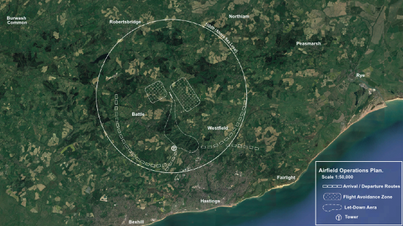


EGSPIL - Spilsted Farm
Located in Whatlington, United Kingdom
ICAO - , IATA -
Data provided by AirmateGeneral information
Coordinates: N50°56'13" E0°31'9"
Elevation is 160 feet MSL.
Magnetic variation is 1° East View others Airports in England
Operational data
Special qualification required
Current time UTC:
Current local time:
Weather at : EGMD - Lydd ( 29 km )
METAR: EGMD 160420Z AUTO 23015KT 9999 SCT014/// BKN019/// 14/11 Q1002
TAF: TAF EGMD 160153Z 1603/1612 23015KT 9999 SCT020 PROB30 TEMPO 1603/1605 BKN014 PROB30 TEMPO 1603/1612 24018G28KT 7000 SHRA
Communications frequencies: [VIEW]
Runways:
| RWY identifier | QFU | Length (ft) | Width (ft) | Surface | LDA (ft) |
| 33 | 335° | 2483 | 46 | GRAS | |
| 15 | 155° | 2483 | 46 | GRAS | |
| 01 | 9° | 1456 | 60 | GRAS | |
| 19 | 189° | 1456 | 60 | GRAS |
Airport contact information
Address: Whatlington United Kingdom