


CT29 - Valley Farm
Located in Somers, United States
ICAO - CT29, IATA -
Data provided by AirmateGeneral information
Coordinates: N42°0'47" W72°28'21"
Elevation is 221 feet MSL.
View others Airports in Connecticut
Operational data
Special qualification required
Current time UTC:
Current local time:
Communications frequencies: [VIEW]
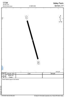
Runways:
| RWY identifier | QFU | Length (ft) | Width (ft) | Surface | LDA (ft) |
| 17 | 0° | 2538 | 50 | ASPH | |
| 35 | 0° | 2538 | 50 | ASPH |
Airport contact information
Address: Somers United States