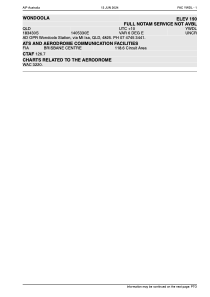


YWDL - Wondoola
Located in Mt Isa, Australia
ICAO - YWDL, IATA - WON
Data provided by AirmateGeneral information
Coordinates: S18°34'23" E140°53'39"
Elevation is 92 feet MSL.
Magnetic variation is 6° East View others Airports in Queensland
Operational data
Special qualification required
Current time UTC:
Current local time:
Weather at : - ( 0 km )
METAR: KQFX 281510Z AUTO 12001KT 9999 BKN230 15/10 A2988 RMK A02 TSNO
Communications frequencies: [VIEW]
Runways:
| RWY identifier | QFU | Length (ft) | Width (ft) | Surface | LDA (ft) |
| 11 | 118° | 3434 | 66 | DIRT | |
| 29 | 298° | 3434 | 66 | DIRT |
Airport contact information
Address: Mt Isa Australia