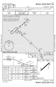


PKRO - Dyess Aaf
Located in Roi-Namur, Marshall Islands
ICAO - ROI, IATA -
Data provided by AirmateGeneral information
Coordinates: N9°23'49" E167°28'15"
Elevation is 14 feet MSL.
Magnetic variation is +9° East View others Airports in Kwajalein
Operational data
Special qualification required
Current time UTC:
Current local time:
Weather at : PKWA - Bucholz Aaf(Kwajalein Kmr)(Atoll) ( 80 km )
TAF: PKWA 012329Z 0200/0224 06015KT P6SM VCSH SCT025
Communications frequencies: [VIEW]
Runways:
| RWY identifier | QFU | Length (ft) | Width (ft) | Surface | LDA (ft) |
| 04 | 48° | 4499 | 150 | ASPH | |
| 22 | 228° | 4499 | 150 | ASPH |
Airport contact information
Address: Roi-Namur Marshall Islands