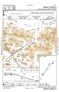


PAKP - Anaktuvuk Pass
Located in Anaktuvuk Pass,
ICAO - AKP, IATA - AKP
Data provided by AirmateGeneral information
Coordinates: N68°8'1" W151°44'36"
Elevation is 2106 feet MSL.
Magnetic variation is 16° East View others Airports in Alaska
Operational data
Special qualification required
Current time UTC:
Current local time:
Weather
METAR: PAKP 022056Z AUTO 03011KT 10SM CLR M07/M13 A3016 RMK AO2 SLP277 T10671128 56011 FZRANO
Communications frequencies: [VIEW]
Runways:
| RWY identifier | QFU | Length (ft) | Width (ft) | Surface | LDA (ft) |
| 02 | 38° | 4800 | 100 | GRAVEL | |
| 20 | 218° | 4800 | 100 | GRAVEL |
Airport contact information
Address: Anaktuvuk Pass