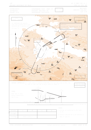


OIMN - Bojnord / Secondary International Aerodrome
Located in Bojnord, Iran, Islamic Republic of
ICAO - OIMN, IATA - BJB
Data provided by AirmateGeneral information
Coordinates: N37°29'21" E57°18'23"
Elevation is 3567 feet MSL.
View others Airports in North Khorasan Province
Operational data
Special qualification required
Current time UTC:
Current local time:
Communications frequencies: [VIEW]
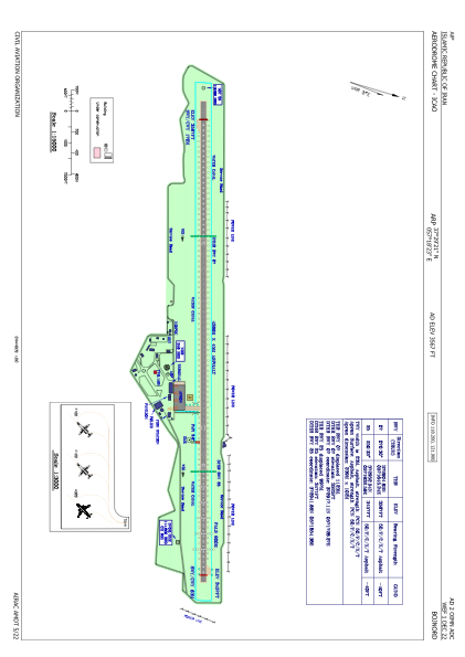
Runways:
| RWY identifier | QFU | Length (ft) | Width (ft) | Surface | LDA (ft) |
| 07 | 70° | 14324 | 148 | ASP | |
| 25 | 250° | 14324 | 148 | ASP |
Airport contact information
Address: Bojnord Iran, Islamic Republic of