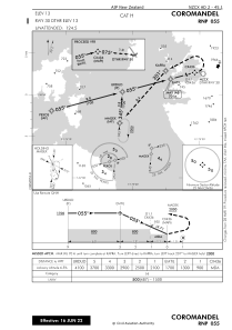


NZCX - Coromandel
Located in Coromandel, New Zealand
ICAO - NZCX, IATA - CMV
Data provided by AirmateGeneral information
Coordinates: S36°47'30" E175°30'31"
Elevation is 13 feet MSL.
Magnetic variation is +20° East View others Airports in Waikato Region
Operational data
Special qualification required
Current time UTC:
Current local time:
Weather at : NZAA - Auckland ( 68 km )
METAR: NZAA 022100Z AUTO 22010KT 9999 SCT045/// BKN060/// 15/10 Q1016
TAF: TAF NZAA 022001Z 0221/0400 23015KT 9999 -SHRA FEW025 SCT035 FM030600 19005KT CAVOK BECMG 0311/0313 12010KT
Communications frequencies: [VIEW]
Runways:
| RWY identifier | QFU | Length (ft) | Width (ft) | Surface | LDA (ft) |
| 12 | 146° | 2044 | 39 | GRASS | 2034 |
| 30 | 326° | 2044 | 39 | GRASS | 1575 |
Airport contact information
Address: Coromandel New Zealand