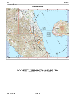
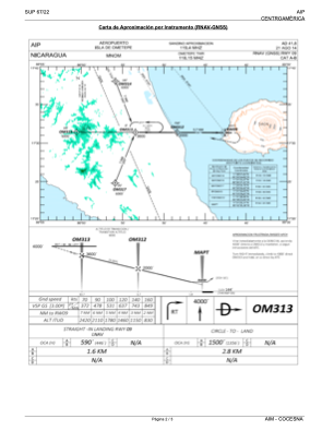


MNOM - Isla de Ometepe
Located in Colemaida, Nicaragua
ICAO - , IATA -
Data provided by AirmateGeneral information
Coordinates: N11°31'25" W85°42'11"
Elevation is 56 feet MSL.
Magnetic variation is -2° East View others Airports in Rivas
Operational data
Special qualification required
Current time UTC:
Current local time:
Weather at : - ( 0 km )
METAR: KI69 270616Z AUTO 17005KT 10SM CLR 18/12 A3009 RMK AO1 T01750120
Communications frequencies: [VIEW]
Runways:
| RWY identifier | QFU | Length (ft) | Width (ft) | Surface | LDA (ft) |
| 09 | 90° | 4877 | 98 | ASPH | |
| 27 | 270° | 4877 | 98 | ASPH |
Airport contact information
Address: Colemaida Nicaragua