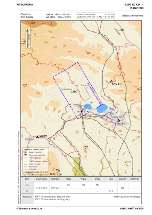


LJSO - Sostanj
Located in Sostanj, Slovenia
ICAO - , IATA -
Data provided by AirmateGeneral information
Coordinates: N46°23'53" E15°2'42"
Elevation is 1239 feet MSL.
Magnetic variation is 4.17° East View others Airports in Sostanj
Operational data
Special qualification required
Current time UTC:
Current local time:
Weather at : LJLJ - Ljubljana/Brnik ( 49 km )
METAR: LJLJ 042000Z VRB02KT CAVOK 12/10 Q1015 NOSIG
TAF: TAF LJLJ 041700Z 0418/0518 28003KT 9999 FEW045 PROB30 TEMPO 0500/0506 0400 FG VV001 TEMPO 0510/0512 26011KT
Communications frequencies: [VIEW]
Runways:
| RWY identifier | QFU | Length (ft) | Width (ft) | Surface | LDA (ft) |
| 15 | 149° | 2343 | 59 | ASPH | |
| 33 | 329° | 2343 | 59 | ASPH | 2343 |
Airport contact information
Address: Sostanj Slovenia
