


LIRU - Roma/Urbe
Located in Roma, Italy
ICAO - LIRU, IATA -
Data provided by AirmateGeneral information
Coordinates: N41°57'7" E12°30'3"
Elevation is 55 feet MSL.
View others Airports in Lazio
Operational data
Special qualification required
Current time UTC:
Current local time:
Weather
METAR: LIRU 300750Z 36005KT 320V060 CAVOK 21/14 Q1017
TAF: TAF LIRU 300800Z 3009/3018 VRB05KT 9999 FEW050 BECMG 3010/3012 20010KT BECMG 3016/3018 VRB05KT
Communications frequencies: [VIEW]
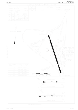
Runways:
| RWY identifier | QFU | Length (ft) | Width (ft) | Surface | LDA (ft) |
| 16 | 160° | 3556 | 98 | ASP | |
| 34 | 340° | 3556 | 98 | ASP |
Airport contact information
Address: Roma Italy