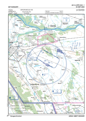
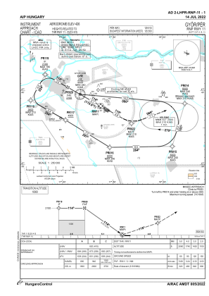
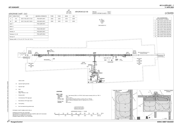


LHPR - Gyor/Per
Located in Gyor, Hungary
ICAO - LHPR, IATA - QGY
Data provided by AirmateGeneral information
Coordinates: N47°37'38" E17°48'30"
Elevation is 426 feet MSL.
Magnetic variation is 4.8500° East View others Airports in Gyor-Moson-Sopron
Operational data
Special qualification required
Current time UTC:
Current local time:
Weather
METAR: LHPR 300415Z AUTO 11004KT CAVOK 09/07 Q1024 NOSIG
TAF: TAF LHPR 300215Z 3003/3012 11005KT CAVOK BECMG 3007/3010 14011KT
Communications frequencies: [VIEW]
Runways:
| RWY identifier | QFU | Length (ft) | Width (ft) | Surface | LDA (ft) |
| 11 | 119° | 6660 | 98 | ASPH | 6660 |
| 29 | 299° | 6660 | 98 | ASPH | 6660 |
Airport contact information
Address: Gyor Hungary
