


LFQV - Charleville Mezieres
Located in Charleville Mezieres, France
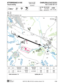
ICAO - LFQV, IATA - XCZ
Data provided by AirmateGeneral information
Coordinates: N49°47'6" E4°38'34"
Elevation is 492 feet MSL.
Magnetic variation is 1.67° East View others Airports in Champagne-Ardenne
Operational data
Special qualification required
Current time UTC:
Current local time:
Communications frequencies: [VIEW]
Runways:
| RWY identifier | QFU | Length (ft) | Width (ft) | Surface | LDA (ft) |
| 11 | 112° | 4921 | 98 | ASPH | 4921 |
| 29 | 292° | 4921 | 98 | ASPH | 4265 |
Airport contact information
Address: Charleville Mezieres France
