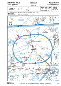


LFAQ - Albert Bray
Located in Albert, France
ICAO - LFAQ, IATA - BYF
Data provided by AirmateGeneral information
Coordinates: N49°58'12" E2°41'33"
Elevation is 363 feet MSL.
Magnetic variation is 1.07° East View others Airports in Picardie
Operational data
Special qualification required
Current time UTC:
Current local time:
Weather
METAR: LFAQ 052030Z AUTO 16002KT CAVOK 13/10 Q1007
Communications frequencies: [VIEW]
Runways:
| RWY identifier | QFU | Length (ft) | Width (ft) | Surface | LDA (ft) |
| 08 | 85° | 7218 | 148 | ASPH | 7218 |
| 26 | 265° | 7218 | 148 | ASPH | 7218 |
| 08R | 85° | 3281 | 262 | GRASS | |
| 26L | 265° | 3281 | 262 | GRASS |
Airport contact information
Address: Albert France

