


KMMH - Mammoth Yosemite
Located in Mammoth Lakes, United States
ICAO - MMH, IATA - MMH
Data provided by AirmateGeneral information
Coordinates: N37°37'27" W118°50'20"
Elevation is 7134 feet MSL.
Magnetic variation is 15° East View others Airports in California
Operational data
Special qualification required
Current time UTC:
Current local time:
Weather
METAR: KMMH 031715Z AUTO 12005KT 10SM CLR 15/M04 A3004 RMK AO2 T01521037
TAF: KMMH 031120Z 0312/0412 VRB05KT P6SM SKC FM032100 29009KT P6SM SCT100 SCT250 FM040300 28005KT P6SM BKN250
Communications frequencies: [VIEW]
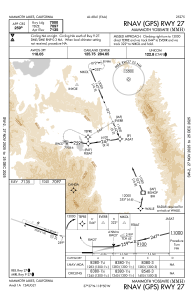
Runways:
| RWY identifier | QFU | Length (ft) | Width (ft) | Surface | LDA (ft) |
| 09 | 109° | 7000 | 100 | ASPH | 7000 |
| 27 | 289° | 7000 | 100 | ASPH | 7000 |
Airport contact information
Address: Mammoth Lakes United States