


KLWT - Lewistown Muni
Located in Lewistown, United States
ICAO - LWT, IATA - LWT
Data provided by AirmateGeneral information
Coordinates: N47°2'57" W109°28'0"
Elevation is 4170 feet MSL.
Magnetic variation is 11° East View others Airports in Montana
Operational data
Special qualification required
Current time UTC:
Current local time:
Weather
METAR: KLWT 210054Z AUTO 31018G32KT 10SM CLR 10/02 A2997 RMK AO2 PK WND 31039/2359 SLP137 T01000022
TAF: KLWT 202339Z 2100/2124 31020G42KT P6SM SCT250 FM210400 30015G29KT P6SM BKN050 FM211000 29007KT P6SM SCT090
Communications frequencies: [VIEW]
Runways:
| RWY identifier | QFU | Length (ft) | Width (ft) | Surface | LDA (ft) |
| 03 | 38° | 5600 | 101 | ASPH | 5600 |
| 21 | 218° | 5600 | 101 | ASPH | 5600 |
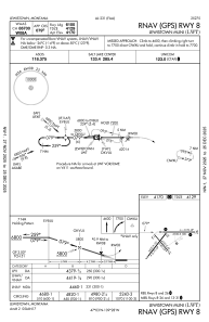
| 08 | 90° | 6100 | 100 | ASPH | 6100 |
| 26 | 270° | 6100 | 100 | ASPH | 6100 |
| 13 | 140° | 4102 | 62 | ASPH | |
| 31 | 320° | 4102 | 62 | ASPH |
Airport contact information
Address: Lewistown United States