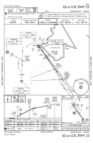
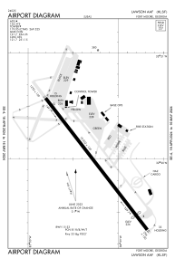


KLSF - Lawson Aaf (Fort Moore)
Located in Fort Moore (Columbus), United States
ICAO - LSF, IATA - LSF
Data provided by AirmateGeneral information
Coordinates: N32°19'54" W84°59'14"
Elevation is 227 feet MSL.
Magnetic variation is -05° East View others Airports in Georgia
Operational data
Special qualification required
Current time UTC:
Current local time:
Weather
METAR: KLSF 022055Z AUTO 23006KT 10SM CLR 32/16 A2990 RMK AO2 SLP128 T03190162 58010 RVRNO VISNO RWY33 $
TAF: TAF KLSF 022100Z 0221/0403 16006KT 9999 SCT065 SCT100 QNH2988INS TX31/0221Z TN18/0311Z LAST NO AMDS AFT 0303 NEXT 0313
Communications frequencies: [VIEW]
Runways:
| RWY identifier | QFU | Length (ft) | Width (ft) | Surface | LDA (ft) |
| 15 | 0° | 10002 | 150 | ASPH | 10002 |
| 33 | 0° | 10002 | 150 | ASPH | 9302 |
Airport contact information
Address: Fort Moore (Columbus) United States