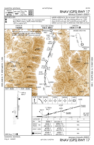


KHRF - Ravalli County
Located in Hamilton, United States
ICAO - HRF, IATA -
Data provided by AirmateGeneral information
Coordinates: N46°15'26" W114°7'26"
Elevation is 3635 feet MSL.
Magnetic variation is 13° East View others Airports in Montana
Operational data
Special qualification required
Current time UTC:
Current local time:
Weather at : KMSO - Missoula Montana ( 73 km )
METAR: KMSO 291053Z AUTO VRB03KT 10SM OVC055 06/03 A2988 RMK AO2 RAB46E48 SLP124 P0000 T00560028
TAF: KMSO 290528Z 2906/3006 32006KT P6SM VCSH OVC070 FM291200 27006KT P6SM -SHRA OVC035 FM291400 29010KT 6SM -SHRA OVC025 FM291900 29011G24KT P6SM -SHRA BKN050 FM300100 30007KT P6SM VCSH BKN080
Communications frequencies: [VIEW]
Runways:
| RWY identifier | QFU | Length (ft) | Width (ft) | Surface | LDA (ft) |
| 17 | 181° | 5200 | 75 | ASPH | |
| 35 | 1° | 5200 | 75 | ASPH |
Airport contact information
Address: Hamilton United States