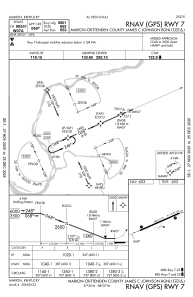


KGDA - Marion-Crittenden County James C Johnson Rgnl
Located in Marion, United States
ICAO - GDA, IATA -
Data provided by AirmateGeneral information
Coordinates: N37°20'9" W88°6'38"
Elevation is 652 feet MSL.
Magnetic variation is -02° East View others Airports in Kentucky
Operational data
Special qualification required
Current time UTC:
Current local time:
Communications frequencies: [VIEW]
Runways:
| RWY identifier | QFU | Length (ft) | Width (ft) | Surface | LDA (ft) |
| 07 | 66° | 5001 | 75 | ASPH | |
| 25 | 246° | 5001 | 75 | ASPH |
Airport contact information
Address: Marion United States