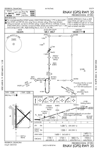


KFDR - Frederick Rgnl
Located in Frederick, United States
ICAO - FDR, IATA - FDR
Data provided by AirmateGeneral information
Coordinates: N34°21'8" W98°59'2"
Elevation is 1258 feet MSL.
Magnetic variation is 07° East View others Airports in Oklahoma
Operational data
Special qualification required
Current time UTC:
Current local time:
Weather
METAR: KFDR 030553Z AUTO 01007KT 10SM CLR 19/19 A2978 RMK AO2 SLP071 60001 T01940189 10256 20194 402720156 50002
Communications frequencies: [VIEW]
Runways:
| RWY identifier | QFU | Length (ft) | Width (ft) | Surface | LDA (ft) |
| 03 | 45° | 4812 | 60 | CONC | |
| 21 | 225° | 4812 | 60 | CONC | |
| 12 | 135° | 4578 | 75 | CONC | |
| 30 | 315° | 4578 | 75 | CONC | |
| 17 | 180° | 6099 | 150 | ASPH | |
| 35 | 360° | 6099 | 150 | ASPH |
Airport contact information
Address: Frederick United States