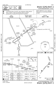


KCNY - Canyonlands Rgnl
Located in Moab, United States
ICAO - CNY, IATA - CNY
Data provided by AirmateGeneral information
Coordinates: N38°45'27" W109°45'12"
Elevation is 4579 feet MSL.
Magnetic variation is 10° East View others Airports in Utah
Operational data
Special qualification required
Current time UTC:
Current local time:
Weather
METAR: KCNY 291953Z AUTO 26012G17KT 10SM SCT090 BKN120 21/M02 A2990 RMK AO2 SLP090 T02061017
TAF: KCNY 291736Z 2918/3018 VRB04KT P6SM FEW120 FM292000 22012G22KT P6SM FEW100 FM300200 20011KT P6SM FEW120 FM300700 28007KT P6SM FEW120 FM301100 VRB04KT P6SM SKC
Communications frequencies: [VIEW]
Runways:
| RWY identifier | QFU | Length (ft) | Width (ft) | Surface | LDA (ft) |
| 03 | 40° | 7360 | 100 | ASPH | 7101 |
| 21 | 220° | 7360 | 100 | ASPH | 7101 |
| 15 | 158° | 2121 | 60 | GRAVEL | 2000 |
| 33 | 338° | 2121 | 60 | GRAVEL | 2000 |
Airport contact information
Address: Moab United States