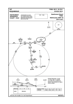


FQQL - Quelimane / National
Located in Quelimane, Mozambique
ICAO - FQQL, IATA - UEL
Data provided by AirmateGeneral information
Coordinates: S17°51'5" E36°52'6"
Elevation is 36 feet MSL.
View others Airports in Zambezia Province
Operational data
Special qualification required
Current time UTC:
Current local time:
Weather
METAR: FQQL 281900Z /////KT 9999 FEW018 23/21 Q1019
TAF: TAF FQQL 281600Z 2818/2918 24008KT 9999 BKN020 TX26/2913Z TN21/2902Z TEMPO 2900/2906 3000 RADZ SCT012 BKN018 BECMG 2912/2914 18010KT
Communications frequencies: [VIEW]
Runways:
| RWY identifier | QFU | Length (ft) | Width (ft) | Surface | LDA (ft) |
| 09 | 85° | 2980 | 98 | GVL | |
| 27 | 265° | 2980 | 98 | GVL | |
| 18 | 174° | 5906 | 148 | ASP | |
| 36 | 354° | 5906 | 148 | ASP |
Airport contact information
Address: Quelimane Mozambique