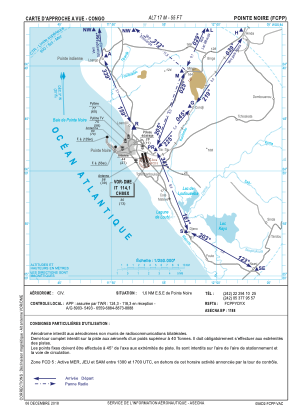


FCPP - Pointe Noire / Antonio Agostinho Neto
Located in Pointe Noire, Congo
ICAO - FCPP, IATA - PNR
Data provided by AirmateGeneral information
Coordinates: S4°48'53" E11°53'11"
Elevation is 55 feet MSL.
View others Airports in Kouilou
Operational data
Special qualification required
Current time UTC:
Current local time:
Weather
METAR: FCPP 040200Z 16003KT 6000 FEW010 SCT020 27/27 Q1011 NOSIG
TAF: TAF FCPP 032300Z 0400/0424 20004KT 7000 SCT018 PROB30 0403/0407 3000 BR
Communications frequencies: [VIEW]
Runways:
| RWY identifier | QFU | Length (ft) | Width (ft) | Surface | LDA (ft) |
| 17 | 166° | 8570 | 148 | ASP | |
| 35 | 346° | 8570 | 148 | ASP |
Airport contact information
Address: Pointe Noire Congo