


CYYR - Goose Bay
Located in , Canada
ICAO - CYYR, IATA - YYR
Data provided by AirmateGeneral information
Coordinates: N53°19'9" W60°25'33"
Elevation is 160 feet MSL.
Magnetic variation is -19.83° East View others Airports in Newfoundland and Labrador
Operational data
Special qualification required
Current time UTC:
Current local time:
Weather
METAR: CYYR 301400Z 36016G23KT 6SM -RASN BKN013 OVC025 00/M02 A3021 RMK SF6SC2 DENSITY ALT -1917FT CIG EST SLP233
TAF: TAF AMD CYYR 301342Z 3013/0118 36012G22KT P6SM -RA SCT012 OVC020 TEMPO 3013/3018 01015G30KT 3SM -SNPL -DZ BR OVC012 PROB30 3013/3014 3SM -FZDZ BR OVC010 FM301800 02015G28KT 6SM -RA OVC015 TEMPO 3018/3024 3SM -SNPL -DZ BR OVC010 FM010000 03012G22KT 5SM -SNRA BR OVC010 PROB30 0100/0112 2SM -PL -FZDZ BR OVC006 FM011200 04015G28KT 4SM -RA -DZ BR SCT006 OVC012 RMK NXT FCST BY 301800Z
Communications frequencies: [VIEW]
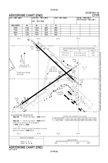
Runways:
| RWY identifier | QFU | Length (ft) | Width (ft) | Surface | LDA (ft) |
| 15 | 133° | 9584 | 200 | CONC | 9584 |
| 33 | 313° | 9584 | 200 | CONC | 9584 |
| 08 | 55° | 11052 | 200 | CONC | 11052 |
| 26 | 235° | 11052 | 200 | CONC | 11052 |
Airport contact information
Address: Canada