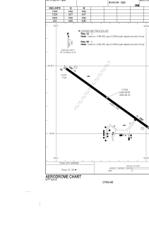


CYAG - Fort Frances Municipality
Located in , Canada
ICAO - CYAG, IATA - YAG
Data provided by AirmateGeneral information
Coordinates: N48°39'16" W93°26'26"
Elevation is 1123 feet MSL.
Magnetic variation is 1° East View others Airports in Ontario
Operational data
Special qualification required
Current time UTC:
Current local time:
Weather at : KINL - Falls Intl/Einarson Fld ( 10 km )
METAR: KINL 280854Z AUTO 04007KT 10SM BKN012 OVC022 02/M01 A3012 RMK AO2 SLP213 T00221006 50008
TAF: KINL 280529Z 2806/2906 04007KT P6SM BKN015 TEMPO 2810/2813 BKN009 FM281300 07008KT P6SM OVC012 FM281900 08010G16KT P6SM BKN040 FM290500 09013G22KT 5SM -RA OVC023
Communications frequencies: [VIEW]
Runways:
| RWY identifier | QFU | Length (ft) | Width (ft) | Surface | LDA (ft) |
| 12 | 126° | 4493 | 100 | ASPH | 4493 |
| 30 | 306° | 4493 | 100 | ASPH | 4493 |
Airport contact information
Address: Canada