


C17 - Marion
Located in Marion, United States
ICAO - C17, IATA -
Data provided by AirmateGeneral information
Coordinates: N42°1'47" W91°31'54"
Elevation is 860 feet MSL.
Magnetic variation is 02° East View others Airports in Iowa
Operational data
Special qualification required
Current time UTC:
Current local time:
Weather at : KCID - The Eastern Iowa ( 22 km )
METAR: KCID 290052Z 19008KT 10SM BKN110 18/16 A2977 RMK AO2 SLP079 T01830156
TAF: KCID 282341Z 2900/2924 21011KT P6SM SCT007 OVC050 TEMPO 2900/2903 5SM -SHRA BR BKN030 FM290300 20010KT 6SM BR OVC025 FM290600 19008KT 6SM BR OVC007 FM291100 25011G20KT P6SM SCT008 OVC020 FM291800 26018G26KT P6SM OVC035
Communications frequencies: [VIEW]
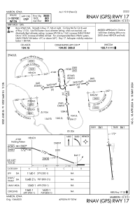
Runways:
| RWY identifier | QFU | Length (ft) | Width (ft) | Surface | LDA (ft) |
| 17 | 0° | 3776 | 60 | ASPH | |
| 35 | 0° | 3776 | 60 | ASPH |
Airport contact information
Address: Marion United States
