


WAON - Tabalong / Warukin
Located in Tanta-Tabalong-Borneo Island, Indonesia
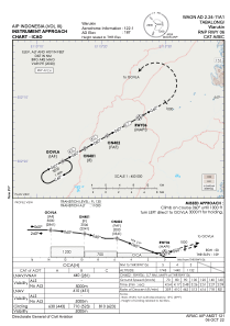
ICAO - WAON, IATA - TJG
Data provided by AirmateGeneral information
Coordinates: S2°12'46" E115°26'33"
Elevation is 187 feet MSL.
View others Airports in Kalimantan Selatan
Operational data
Special qualification required
Current time UTC:
Current local time:
Weather at : - ( 0 km )
METAR: PAHX 230602Z AUTO 23006KT 10SM SCT034 SCT100 07/03 A2984 RMK AO2 SLP106 60019 T00720028 10094 20056 53016
Communications frequencies: [VIEW]
Runways:
| RWY identifier | QFU | Length (ft) | Width (ft) | Surface | LDA (ft) |
| 06 | 60° | 4593 | 98 | ASP | |
| 24 | 240° | 4593 | 98 | ASP |
Airport contact information
Address: Tanta-Tabalong-Borneo Island Indonesia