


RJFR - Kitakyushu
Located in Kitakyushu, Japan
ICAO - RJFR, IATA - KKJ
Data provided by AirmateGeneral information
Coordinates: N33°50'44" E131°2'6"
Elevation is 21 feet MSL.
View others Airports in Fukuoka Prefecture
Operational data
Special qualification required
Current time UTC:
Current local time:
Weather
METAR: RJFR 211500Z AUTO 34005KT 9999 NCD 18/14 Q1018
TAF: TAF RJFR 211108Z 2112/2218 35011KT 9999 FEW030 BECMG 2120/2122 10009KT BECMG 2203/2206 07010KT BECMG 2209/2212 10010KT
Communications frequencies: [VIEW]
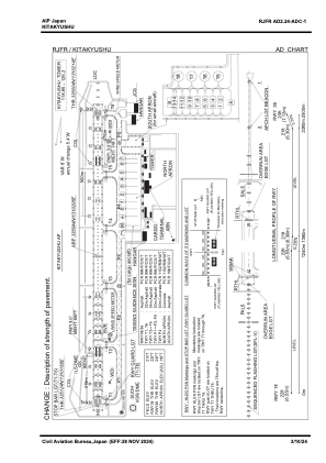
Runways:
| RWY identifier | QFU | Length (ft) | Width (ft) | Surface | LDA (ft) |
| 18 | 170° | 8202 | 197 | ASP | |
| 36 | 350° | 8202 | 197 | ASP |
Airport contact information
Address: Kitakyushu Japan