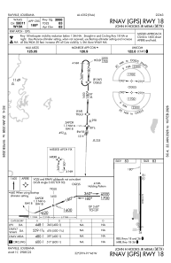


M79 - John H Hooks Jr Meml
Located in Rayville, United States
ICAO - M79, IATA -
Data provided by AirmateGeneral information
Coordinates: N32°29'8" W91°46'16"
Elevation is 83 feet MSL.
Magnetic variation is 02° East View others Airports in Louisiana
Operational data
Special qualification required
Current time UTC:
Current local time:
Weather at : KMLU - Monroe Rgnl ( 25 km )
METAR: KMLU 281453Z 16007KT 140V200 10SM BKN025 OVC031 24/19 A3003 RMK AO2 SLP166 T02390189 53016
TAF: KMLU 281120Z 2812/2912 14008KT P6SM BKN015 FM281400 16010G16KT P6SM BKN020 FM281600 17012G18KT P6SM BKN035 FM282100 18013G23KT P6SM BKN045 FM290400 16011G19KT P6SM OVC100 FM291000 13011G20KT P6SM -RA OVC015
Communications frequencies: [VIEW]
Runways:
| RWY identifier | QFU | Length (ft) | Width (ft) | Surface | LDA (ft) |
| 18 | 182° | 3998 | 75 | ASPH | |
| 36 | 2° | 3998 | 75 | ASPH |
Airport contact information
Address: Rayville United States