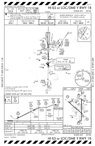
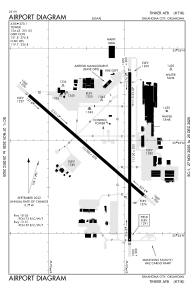


KTIK - Tinker Afb
Located in Oklahoma City, United States
ICAO - TIK, IATA -
Data provided by AirmateGeneral information
Coordinates: N35°24'53" W97°23'12"
Elevation is 1290 feet MSL.
Magnetic variation is 03° East View others Airports in Oklahoma
Operational data
Special qualification required
Current time UTC:
Current local time:
Weather
METAR: KTIK 140255Z AUTO 33006KT 10SM CLR 19/14 A2972 RMK AO2 SLP063 T01870135 52010 $
Communications frequencies: [VIEW]
Runways:
| RWY identifier | QFU | Length (ft) | Width (ft) | Surface | LDA (ft) |
| 13 | 131° | 10000 | 200 | OTHER | |
| 31 | 311° | 10000 | 200 | OTHER | |
| 18 | 180° | 11100 | 200 | OTHER | |
| 36 | 360° | 11100 | 200 | OTHER |
Airport contact information
Address: Oklahoma City United States