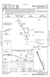


KEET - Shelby County
Located in Alabaster, United States
ICAO - EET, IATA -
Data provided by AirmateGeneral information
Coordinates: N33°10'40" W86°46'60"
Elevation is 585 feet MSL.
Magnetic variation is -03° East View others Airports in Alabama
Operational data
Special qualification required
Current time UTC:
Current local time:
Weather
METAR: KEET 281853Z AUTO 18005KT 10SM FEW036 OVC060 24/17 A3019 RMK AO2 SLP216 T02390167
TAF: KEET 281720Z 2818/2918 16008KT P6SM BKN040 FM282100 15007KT P6SM SCT150 FM291400 16010KT P6SM SCT080
Communications frequencies: [VIEW]
Runways:
| RWY identifier | QFU | Length (ft) | Width (ft) | Surface | LDA (ft) |
| 16 | 157° | 5000 | 75 | ASPH | |
| 34 | 337° | 5000 | 75 | ASPH |
Airport contact information
Address: Alabaster United States
