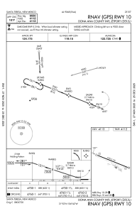


KDNA - Dona Ana County Intl Jetport
Located in Santa Teresa, United States
ICAO - DNA, IATA -
Data provided by AirmateGeneral information
Coordinates: N31°52'50" W106°42'12"
Elevation is 4112 feet MSL.
Magnetic variation is 11° East View others Airports in New Mexico
Operational data
Special qualification required
Current time UTC:
Current local time:
Weather at : KBIF - Biggs Aaf (Fort Bliss) ( 31 km )
METAR: KBIF 141055Z 00000KT 7SM CLR 17/M07 A2995 RMK AO2A SLP045 ALSTG/SLP ESTMD WND DATA ESTMD T01741070 $
TAF: TAF KBIF 141100Z 1411/1517 VRB06KT 9999 FEW130 510606 QNH2980INS BECMG 1419/1420 27010G20KT 9999 FEW130 QNH2992INS BECMG 1505/1506 27009KT 9999 SCT130 510606 QNH2980INS TX32/1422Z TN16/1412Z
Communications frequencies: [VIEW]
Runways:
| RWY identifier | QFU | Length (ft) | Width (ft) | Surface | LDA (ft) |
| 10 | 112° | 9550 | 100 | ASPH | |
| 28 | 292° | 9550 | 100 | ASPH |
Airport contact information
Address: Santa Teresa United States