


KDNA - Dona Ana County Intl Jetport
Located in Santa Teresa, United States
ICAO - DNA, IATA -
Data provided by AirmateGeneral information
Coordinates: N31°52'50" W106°42'12"
Elevation is 4112 feet MSL.
Magnetic variation is 11° East View others Airports in New Mexico
Operational data
Special qualification required
Current time UTC:
Current local time:
Weather at : KBIF - Biggs Aaf (Fort Bliss) ( 31 km )
TAF: TAF KBIF 211100Z 2111/2217 VRB06KT 9999 FEW250 520009 QNH2994INS BECMG 2115/2116 26010G15KT 9999 FEW250 520009 QNH2998INS BECMG 2118/2119 26010G20KT 9999 SKC 510009 QNH2980INS TEMPO 2122/2201 25015G25KT BECMG 2212/2213 VRB06KT 9999 SKC 510009 QNH2991INS TX32/2123Z TN21/2112Z
Communications frequencies: [VIEW]
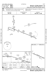
Runways:
| RWY identifier | QFU | Length (ft) | Width (ft) | Surface | LDA (ft) |
| 10 | 112° | 9550 | 100 | ASPH | |
| 28 | 292° | 9550 | 100 | ASPH |
Airport contact information
Address: Santa Teresa United States