


CYQF - Red Deer Regional
Located in , Canada
ICAO - CYQF, IATA - YQF
Data provided by AirmateGeneral information
Coordinates: N52°11'6" W113°53'40"
Elevation is 2968 feet MSL.
Magnetic variation is 14.45° East View others Airports in Alberta
Operational data
Special qualification required
Current time UTC:
Current local time:
Weather
METAR: CYQF 181300Z AUTO 28010KT 9SM CLR 04/M04 A2980 RMK SLP119
TAF: TAF CYQF 181140Z 1812/1824 25008KT P6SM SKC BECMG 1815/1817 31010G20KT SCT040 FM181700 31010G20KT P6SM SCT040 TEMPO 1817/1820 P6SM VCSH BKN040 FM182000 32015KT P6SM BKN050 TEMPO 1820/1824 P6SM -SHRA PROB30 1822/1824 VRB20G30KT P6SM -TSRA BKN040CB RMK FCST BASED ON AUTO OBS. NXT FCST BY 181800Z
Communications frequencies: [VIEW]
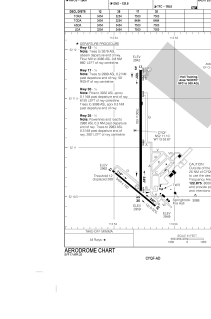
Runways:
| RWY identifier | QFU | Length (ft) | Width (ft) | Surface | LDA (ft) |
| 17 | 180° | 7500 | 150 | ASPH | 7500 |
| 35 | 360° | 7500 | 150 | ASPH | 7500 |
| 12 | 130° | 3454 | 100 | ASPH | 3254 |
| 30 | 310° | 3454 | 100 | ASPH | 3454 |
Airport contact information
Address: Canada
