


CCH4 - Charlottetown
Located in , Canada
ICAO - CCH4, IATA - YHG
Data provided by AirmateGeneral information
Coordinates: N52°45'57" W56°6'45"
Elevation is 210 feet MSL.
Magnetic variation is -19.0829° East View others Airports in Newfoundland and Labrador
Operational data
Special qualification required
Current time UTC:
Current local time:
Weather at : CYMH - Marys Harbour ( 54 km )
METAR: CYMH 171900Z AUTO 03007KT 9SM OVC018 08/03 A3019 RMK SLP224
TAF: TAF AMD CYMH 171812Z 1718/1802 09008KT P6SM FEW020 BKN100 TEMPO 1718/1802 BKN020 BKN100 PROB30 1722/1802 5SM -DZ BR BKN009 OVC015 RMK FCST BASED ON AUTO OBS. NXT FCST BY 172000Z
Communications frequencies: [VIEW]
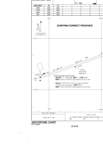
Runways:
| RWY identifier | QFU | Length (ft) | Width (ft) | Surface | LDA (ft) |
| 09 | 70° | 2502 | 75 | GRAVE | 2502 |
| 27 | 250° | 2502 | 75 | GRAVE | 2502 |
Airport contact information
Address: Canada
