


0XA4 - Seven C's Ranch
Located in Freer, United States
ICAO - 0XA4, IATA -
Data provided by AirmateGeneral information
Coordinates: N27°59'50" W98°52'58"
Elevation is 336 feet MSL.
Magnetic variation is 05° East View others Airports in Texas
Operational data
Special qualification required
Current time UTC:
Current local time:
Weather at : KCOT - Cotulla-La Salle County ( 61 km )
TAF: KCOT 210913Z 2109/2206 14008KT 6SM BR BKN020 FM211600 15009G16KT P6SM SCT035 SCT250
Communications frequencies: [VIEW]
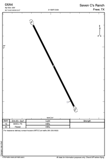
Runways:
| RWY identifier | QFU | Length (ft) | Width (ft) | Surface | LDA (ft) |
| 15 | 0° | 5005 | 75 | ASPH | |
| 33 | 0° | 5005 | 75 | ASPH |
Airport contact information
Address: Freer United States