


LFRF - Granville-Mont Saint Michel
Located in , France
ICAO - LFRF, IATA - GFR
Data provided by AirmateGeneral information
Coordinates: N48°52'58" W1°33'50"
Elevation is 45 feet MSL.
Magnetic variation is -0.21° East View others Airports in Lower Normandy
Operational data
Special qualification required
Current time UTC:
Current local time:
Weather at : LFRD - Dinard Pleurtuit Saint Malo ( 50 km )
METAR: LFRD 170800Z AUTO 14005KT 110V170 9999 SCT017 BKN029 BKN035 16/13 Q1010 TEMPO 4000 SHRA BKN012 BKN020CB
TAF: TAF AMD LFRD 170616Z 1706/1806 VRB05KT 9999 BKN030 TEMPO 1706/1709 3000 RA BKN007 TEMPO 1709/1721 4000 SHRA BKN012 BKN020CB PROB30 TEMPO 1800/1806 3000 BR TEMPO 1802/1806 3000 RA BKN010 PROB30 TEMPO 1804/1806 2000 TSRA BKN010 BKN015CB
Communications frequencies: [VIEW]
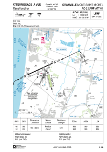
Runways:
| RWY identifier | QFU | Length (ft) | Width (ft) | Surface | LDA (ft) |
| 06 | 65° | 3150 | 98 | ASPH | 3150 |
| 24 | 245° | 3150 | 98 | ASPH | 2707 |
Airport contact information
Address: France


