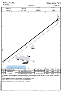


KCOD - Yellowstone Rgnl
Located in Cody, United States
ICAO - COD, IATA - COD
Data provided by AirmateGeneral information
Coordinates: N44°31'13" W109°1'26"
Elevation is 5102 feet MSL.
Magnetic variation is 11° East View others Airports in Wyoming
Operational data
Special qualification required
Current time UTC:
Current local time:
Weather
METAR: KCOD 041156Z AUTO 02004KT 10SM FEW100 08/02 A2981 RMK AO2 SLP062 T00780022 10111 20067 51022
TAF: KCOD 041122Z 0412/0512 26010G20KT P6SM SCT070 SCT090 FM041500 27015G24KT P6SM SCT090 BKN200 FM041800 26020G30KT P6SM SCT060 BKN120 FM050300 25009KT P6SM SCT120
Communications frequencies: [VIEW]
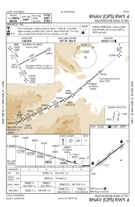
Runways:
| RWY identifier | QFU | Length (ft) | Width (ft) | Surface | LDA (ft) |
| 04 | 52° | 8268 | 100 | ASPH | 7178 |
| 22 | 232° | 8268 | 100 | ASPH | 7178 |
Airport contact information
Address: Cody United States
