


WAEH - Lelilef Sawai / Weda Bay
Located in Weda, Indonesia
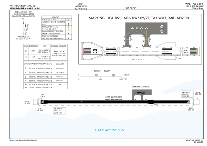
ICAO - , IATA -
Data provided by AirmateGeneral information
Coordinates: N0°28'5" E127°56'46"
Elevation is 6 feet MSL.
View others Airports in Maluku Utara
Operational data
Special qualification required
Current time UTC:
Current local time:
Weather at : - ( 0 km )
METAR: PAMY 291721Z AUTO 32013KT 1 1/4SM UP BR OVC003 M02/M02 A3010 RMK AO2 VIS 1/2V4 UPB00SNE00 P0000 FZRANO
Communications frequencies: [VIEW]
Runways:
| RWY identifier | QFU | Length (ft) | Width (ft) | Surface | LDA (ft) |
| 09 | 91° | 5413 | 98 | UNK | |
| 27 | 271° | 5413 | 98 | UNK |
Airport contact information
Address: Weda Indonesia