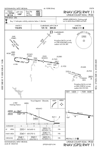


W22 - Upshur County Rgnl
Located in Buckhannon, United States
ICAO - W22, IATA -
Data provided by AirmateGeneral information
Coordinates: N39°0'2" W80°16'30"
Elevation is 1635 feet MSL.
Magnetic variation is -08° East View others Airports in West Virginia
Operational data
Special qualification required
Current time UTC:
Current local time:
Communications frequencies: [VIEW]
Runways:
| RWY identifier | QFU | Length (ft) | Width (ft) | Surface | LDA (ft) |
| 11 | 98° | 4201 | 75 | ASPH | |
| 29 | 278° | 4201 | 75 | ASPH |
Airport contact information
Address: Buckhannon United States