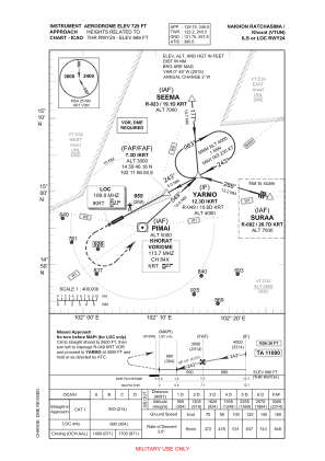


VTUN - Nakhon Ratchasima / Khorat Airport
Located in Nakhon Ratchasima, Thailand
ICAO - VTUN, IATA -
Data provided by AirmateGeneral information
Coordinates: N14°56'0" E102°4'60"
Elevation is 729 feet MSL.
View others Airports in Nakhon Ratchasima Province
Operational data
Special qualification required
Current time UTC:
Current local time:
Communications frequencies: [VIEW]
Runways:
| RWY identifier | QFU | Length (ft) | Width (ft) | Surface | LDA (ft) |
| 06 | 63° | 9843 | 148 | CON | |
| 24 | 243° | 9843 | 148 | CON |
Airport contact information
Address: Nakhon Ratchasima Thailand