


PHHN - Hana
Located in Hana,
ICAO - HNM, IATA - HNM
Data provided by AirmateGeneral information
Coordinates: N20°47'44" W156°0'52"
Elevation is 78 feet MSL.
Magnetic variation is 11° East View others Airports in Hawaii
Operational data
Special qualification required
Current time UTC:
Current local time:
Communications frequencies: [VIEW]
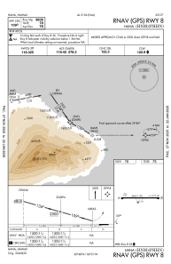
Runways:
| RWY identifier | QFU | Length (ft) | Width (ft) | Surface | LDA (ft) |
| 08 | 90° | 3606 | 100 | ASPH | |
| 26 | 270° | 3606 | 100 | ASPH |
Airport contact information
Address: Hana