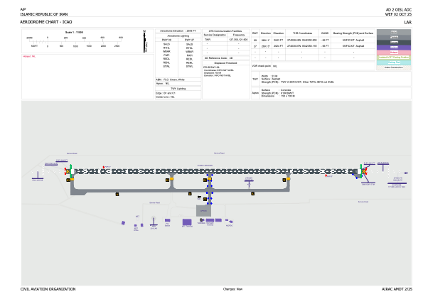


OISL - Lar / Secondary International Aerodrome
Located in Lar, Iran, Islamic Republic of
ICAO - OISL, IATA - LRR
Data provided by AirmateGeneral information
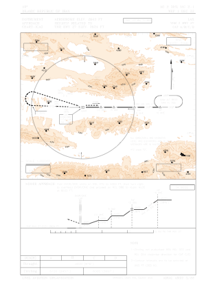
Coordinates: N27°40'23" E54°23'14"
Elevation is 2643 feet MSL.
View others Airports in Fars Province
Operational data
Special qualification required
Current time UTC:
Current local time:
Weather
METAR: OISL 081300Z 26012KT 9999 SCT030CB FEW035TCU BKN090 34/11 Q1009 A2980 NOSIG
TAF: TAF OISL 081130Z 0812/0918 25004KT 9999 SCT030CB FEW035TCU BKN090 PROB30 TEMPO 0813/0816 27014KT 5000 SHRA BECMG 0816/0818 FEW100 TEMPO 0908/0915 29016KT
Communications frequencies: [VIEW]
Runways:
| RWY identifier | QFU | Length (ft) | Width (ft) | Surface | LDA (ft) |
| 09 | 89° | 10397 | 148 | ASP | |
| 27 | 269° | 10397 | 148 | ASP |
Airport contact information
Address: Lar Iran, Islamic Republic of