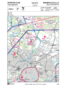


LFFE - Enghien Moisselles
Located in , France
ICAO - LFFE, IATA -
Data provided by AirmateGeneral information
Coordinates: N49°2'44" E2°21'7"
Elevation is 337 feet MSL.
Magnetic variation is 1.01° East View others Airports in Île-de-France
Operational data
Special qualification required
Current time UTC:
Current local time:
Weather at : LFPB - Paris Le Bourget ( 11 km )
METAR: LFPB 020530Z AUTO 24007KT 9999 OVC007 11/11 Q1001 BECMG BKN013
Communications frequencies: [VIEW]
Runways:
| RWY identifier | QFU | Length (ft) | Width (ft) | Surface | LDA (ft) |
| 07 | 66° | 2395 | 262 | GRASS | 2395 |
| 25 | 246° | 2395 | 262 | GRASS | 2395 |
Airport contact information
Address: France
