


LF2721 - Saint Cyr La Campagne
Located in Saint-Cyr-la-Campagne, France
ICAO - , IATA -
Data provided by AirmateGeneral information
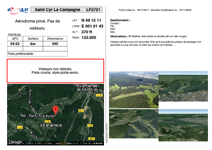
Coordinates: N49°15'11" E1°1'43"
Elevation is 370 feet MSL.
View others Airports in Upper Normandy
Operational data
Special qualification required
Current time UTC:
Current local time:
Weather at : LFOP - Rouen Vallee De Seine ( 19 km )
METAR: LFOP 281800Z AUTO 18005KT CAVOK 11/07 Q1013 TEMPO 26010KT 2000 -TSRA BKN025CB
TAF: TAF LFOP 281400Z 2815/2824 26010KT 9999 BKN020 TEMPO 2815/2819 4000 -SHRA BKN025TCU PROB40 TEMPO 2815/2819 2000 -TSRA BKN025CB BECMG 2819/2821 VRB03KT
Communications frequencies: [VIEW]
Runways:
| RWY identifier | QFU | Length (ft) | Width (ft) | Surface | LDA (ft) |
| 04 | 0° | 1771 | 0 | ASPH | |
| 22 | 0° | 1771 | 0 | ASPH |
Airport contact information
Address: Saint-Cyr-la-Campagne France