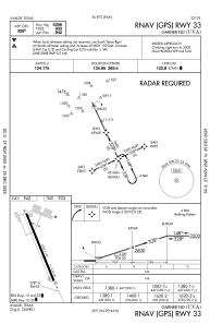


KUVA - Garner Fld
Located in Uvalde, United States
ICAO - UVA, IATA - UVA
Data provided by AirmateGeneral information
Coordinates: N29°12'41" W99°44'37"
Elevation is 941 feet MSL.
Magnetic variation is 07° East View others Airports in Texas
Operational data
Special qualification required
Current time UTC:
Current local time:
Weather
METAR: KUVA 182235Z AUTO 10008KT 10SM SCT037 31/22 A2987 RMK AO2 T03090219
Communications frequencies: [VIEW]
Runways:
| RWY identifier | QFU | Length (ft) | Width (ft) | Surface | LDA (ft) |
| 15 | 155° | 5256 | 100 | ASPH | |
| 33 | 335° | 5256 | 100 | ASPH |
Airport contact information
Address: Uvalde United States